Today marks the release of THE WOLF KEEPERS, my most recent illustration project by author Elise Broach, published by Henry Holt and Co. You can read more about the book and see some sample interior illustrations in my last blog post, “THE WOLF KEEPERS: Book Release”.
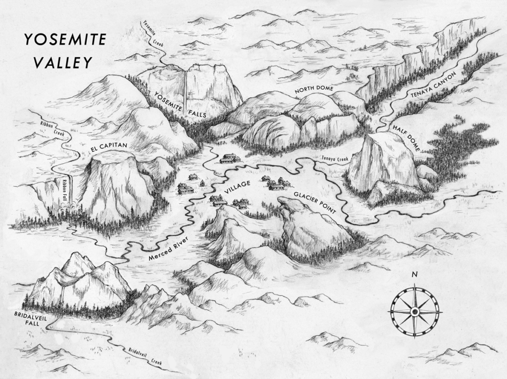
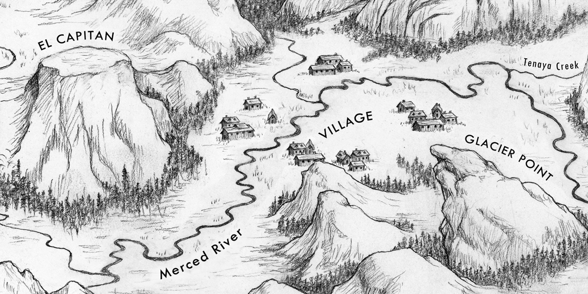
One of the most enjoyable moments I had bringing this book to life was creating the setting of Yosemite National Park. This was a vital element to the cover. In addition to representing Yosemite on the cover and in key moments of the story, we all agreed that a map of the valley – where Lizzie and Tyler experience their adventure – was definitely in order for the endpapers:

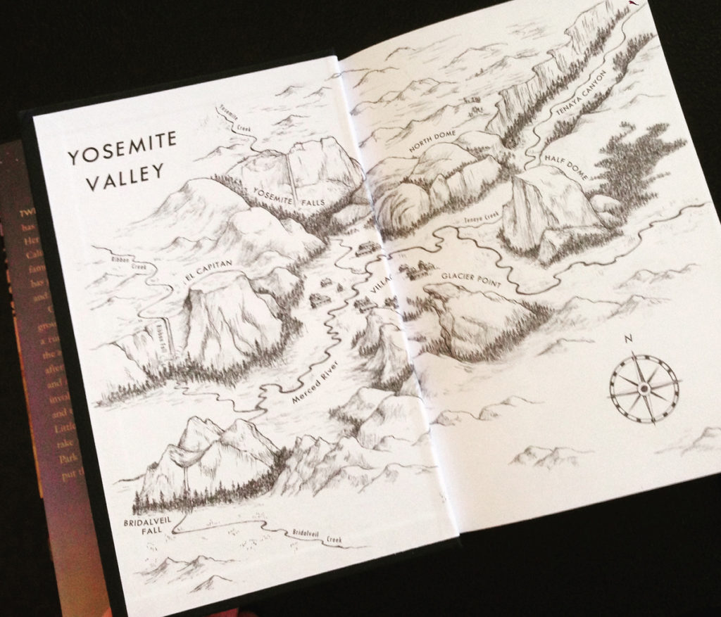
And as seen on the end papers:

I love creating maps, and it definitely was a humbling and challenging task to represent one of the most beautiful landmarks in the world. To view my other maps check out the editorial tab at the top of this page. If you’d like to read more about how I create digital maps from hand drawings, check out my blog post “How to illustrate a map in a hand-drawn style”.
If you’d like to plan your visit to Yosemite or any national park, visit the Mountain IQ at https://www.mountainiq.com/. These two have done their homework and are a great resource to help you prepare for your next mountain experience.
(For their take on the best way to trek Yosemite, navigate to https://www.mountainiq.com/guides/america/yosemite/)
Happy Trails,
aR+

